Map stock illustrations
Browse 1,312,000+ map stock illustrations and vector graphics available royalty-free, or search for world map or road map to find more great stock images and vector art.
world map
road map
us map
map icon
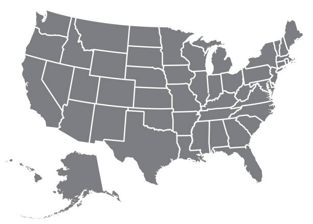
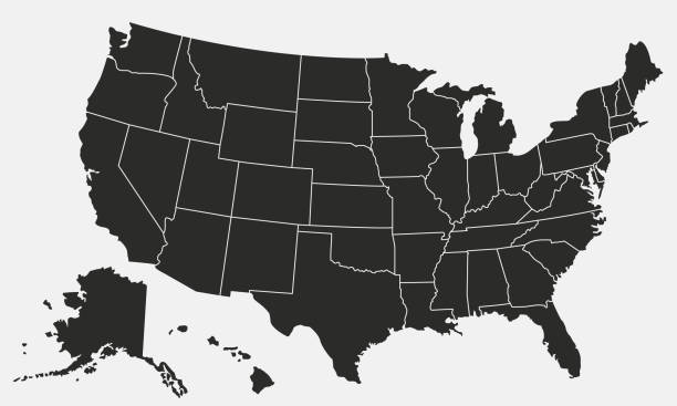
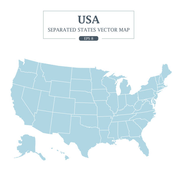
united states map
usa map
topographic map
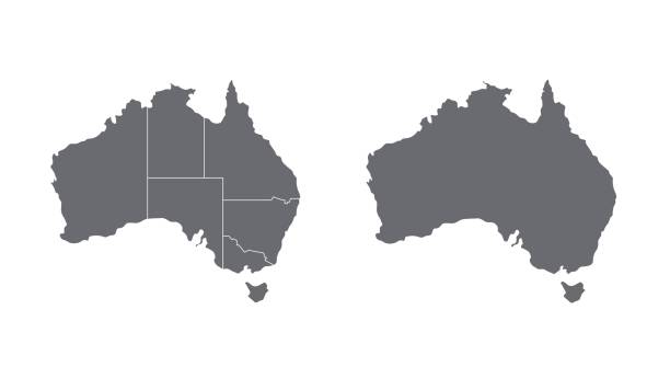
australia map
map pin
treasure map
canada map
global map
africa map
city map
california map
asia map
india map
china map
florida map
heat map
texas map
map vector
street map
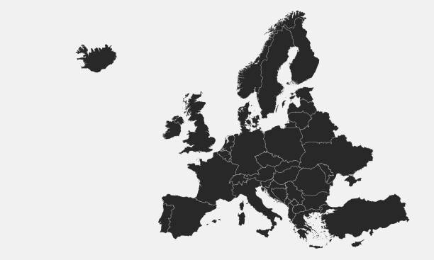
map of europe
map marker
mind map
weather map
map background
america map
journey map
Most popular
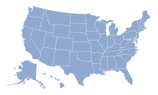
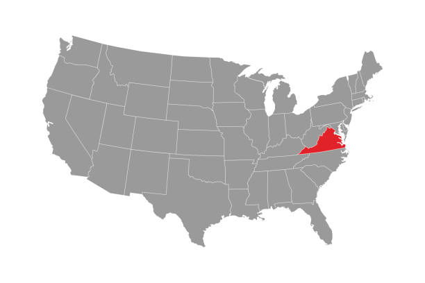
United States Of America map with state divisions an a transparent base. Includes Alaska and Hawaii. Flat color for easy editing. File was created in CMYK
Vector illustration

Geographic regions of the United States, political map. Five regions, according to their geographic position on the continent. Common but unofficial way of referring to regions of the United States.
Vector usa map america icon. United state america country world map illustration.
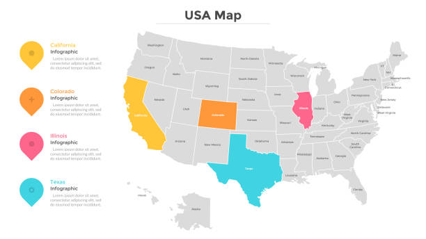
USA map with colored states. Country statistics visualization. Modern infographic design template. Vector illustration for statistical review or report, brochure, presentation, website, banner.
Location icon vector. Pin sign Isolated on white background. Navigation map, gps, direction, place, compass, contact, search concept.
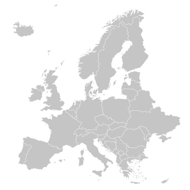

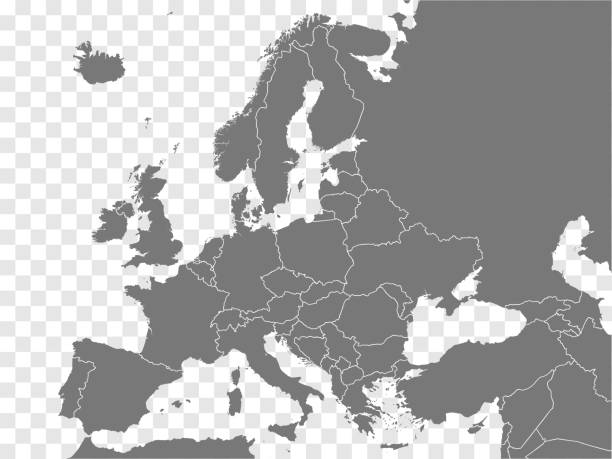
High quality map Europe with borders of regions. Stock vector

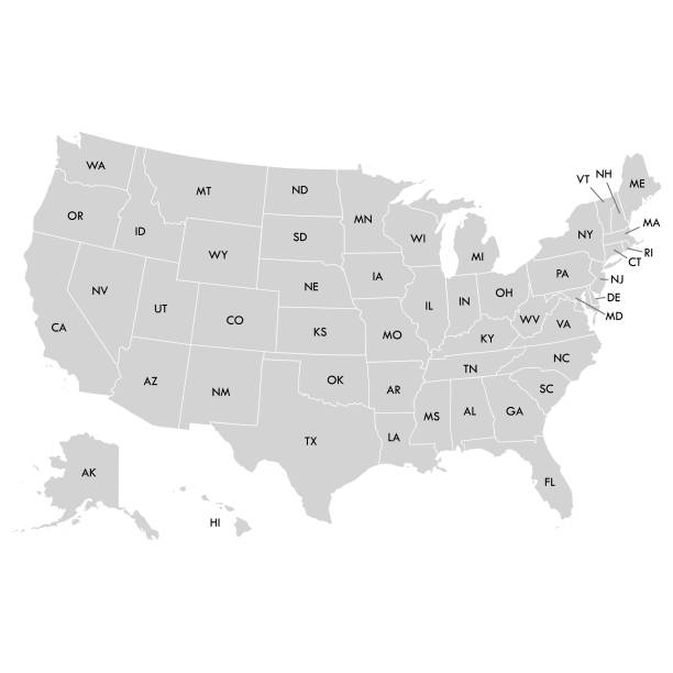
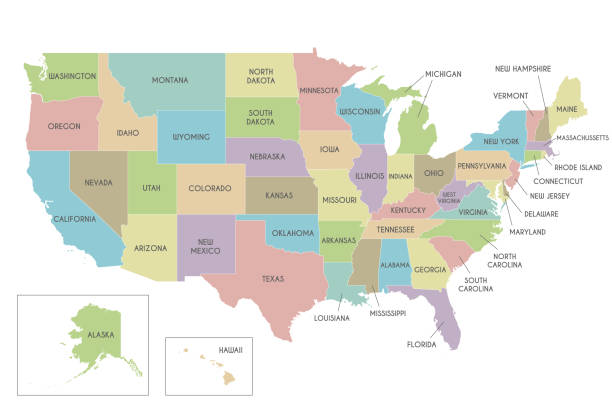
Colorful stylized vector map of the United States of America with state name abbreviations labels. All 50 states can be individually selected.
Map of USA for your own design. Three maps with editable stroke included in the bundle: - One black map on a white background. - One line map with only a thin black outline in a line art style (you can adjust the stroke weight as you want). - One map on a blank transparent background (for change background or texture). The layers are named to facilitate your customization. Vector Illustration (EPS file, well layered and grouped). Easy to edit, manipulate, resize or colorize. Vector and Jpeg file of different sizes.
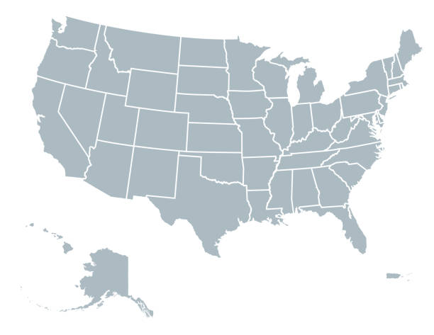
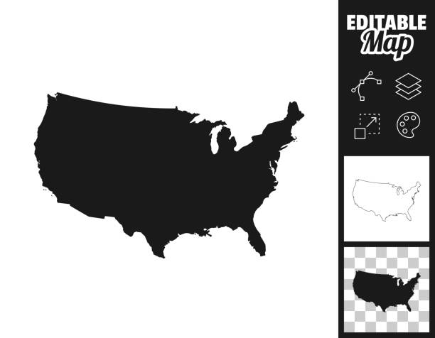
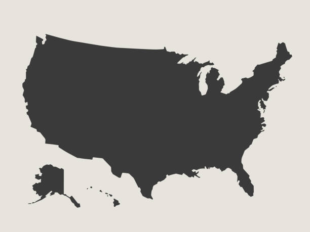
A silhouette of the USA, including Alaska and Hawaii. File is built in CMYK for optimal printing and the map is gray.

United States vector map. USA map with each state short name. Politics and Elections concept.
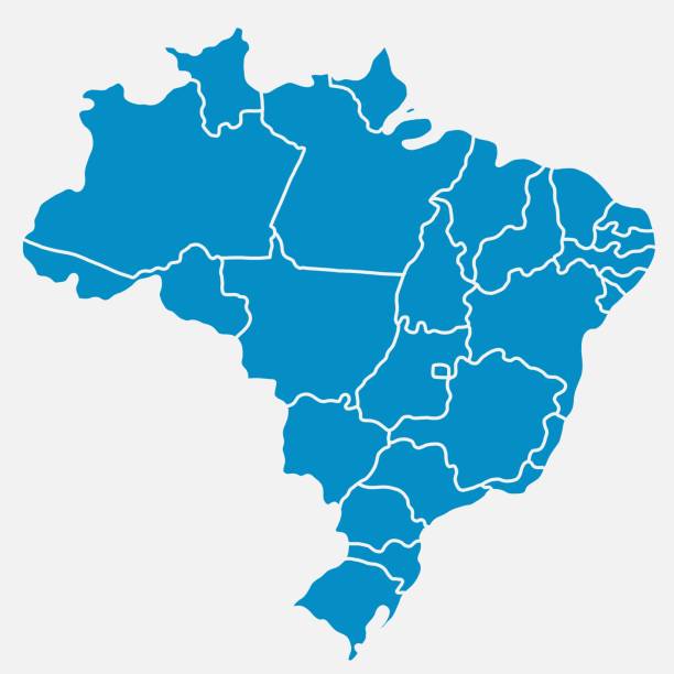
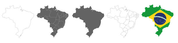
doodle freehand drawing of brazil map. vector illustration.
City map. Scheme of town streets. Gps line navigation plan. Black line road on white isolated background. Urban pattern texture. Vector


USA map with geographical state borders and state abbreviations. United States of America map. Colorful US map design with state abbreviations. Vector

The USA map was traced and simplified in Adobe Illustrator on 29NOV2016 from a copyright-free resource below:

Poster map of United States of America with state names. Print map of USA for t-shirt, poster or geographic themes. Hand-drawn colorful map with states. Vector Illustration
Vector illustration
Vector illustration of the map of the United States with the names of the states in short form

Vector isolated illustration of simplified administrative map of Canada. Borders of the provinces (regions). Grey silhouettes. White outline.
Vector illustration
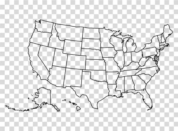
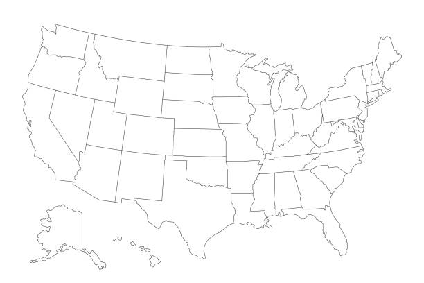
Map of the United States in outline on a transparent background. Vector illustration in HD very easy to make edits.

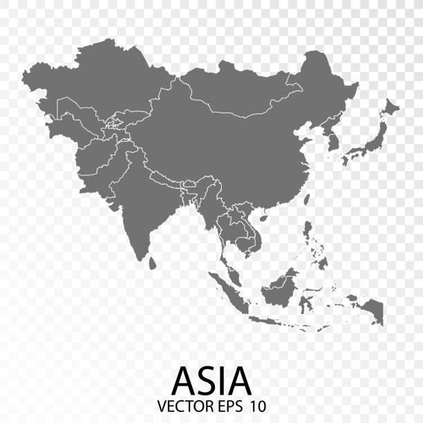
Transparent - High Detailed Grey Map of Asia. Vector eps10.
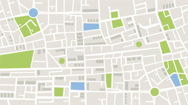
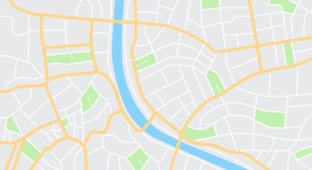
Vector illustration of top view of city details with technological map. In this map, the white color represents the roads in the city, the gray color represents the buildings and apartments, the green color represents the green areas such as parks and gardens, and the blue color represents the wet areas of the city. Location and navigation concepts.
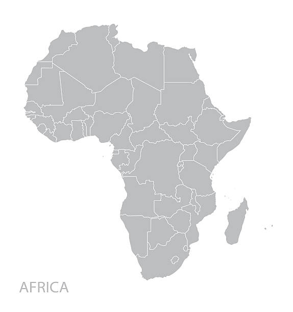
Africa map. vector

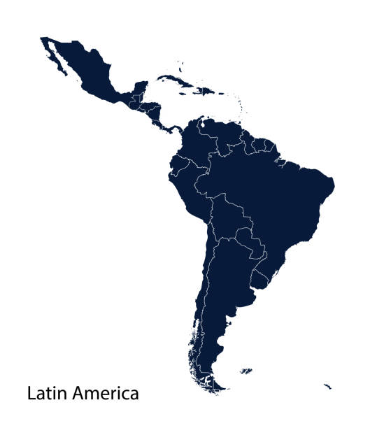
Latin America map, North America, Caribbean, Central America, South America.

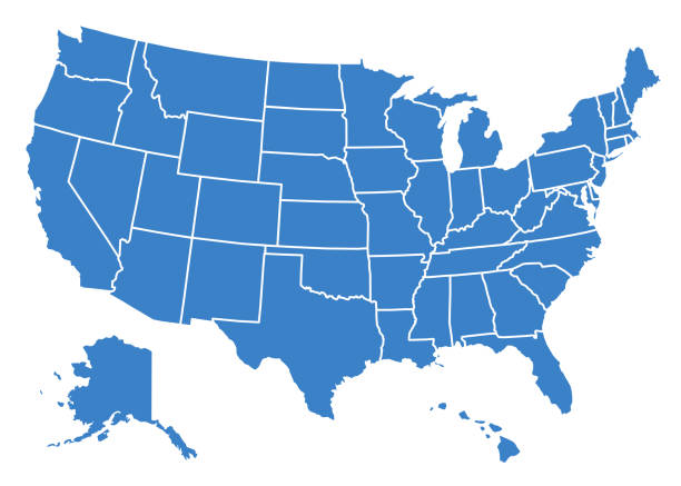
United States map - vector illustration
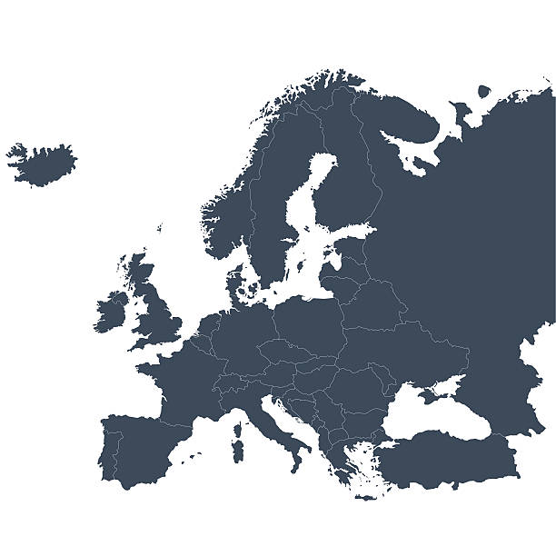
A graphic illustrated vector image showing the outline of the Europe. The outline of the country is filled with a dark navy blue colour and is on a plain white background. The border of the country is a detailed path.
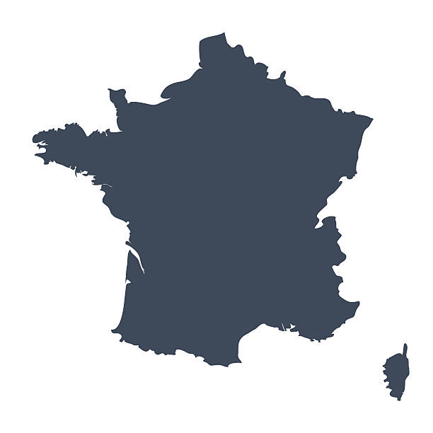
A graphic illustrated vector image showing the outline of the country france. The outline of the country is filled with a dark navy blue colour and is on a plain white background. The border of the country is a detailed path.
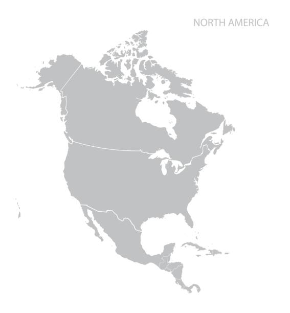
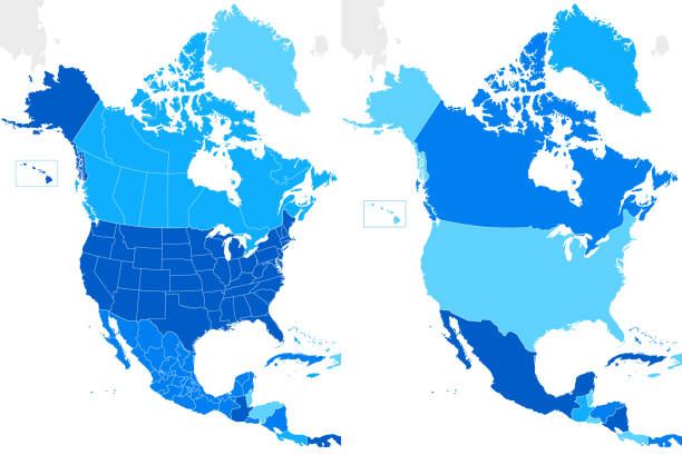
Map of North America. Vector.
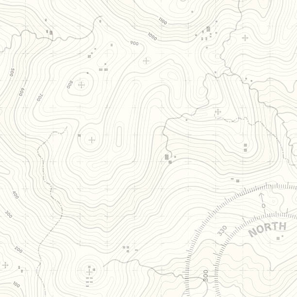
Topographic map background concept with space for your copy. EPS 10 file. Transparency effects used on highlight elements.
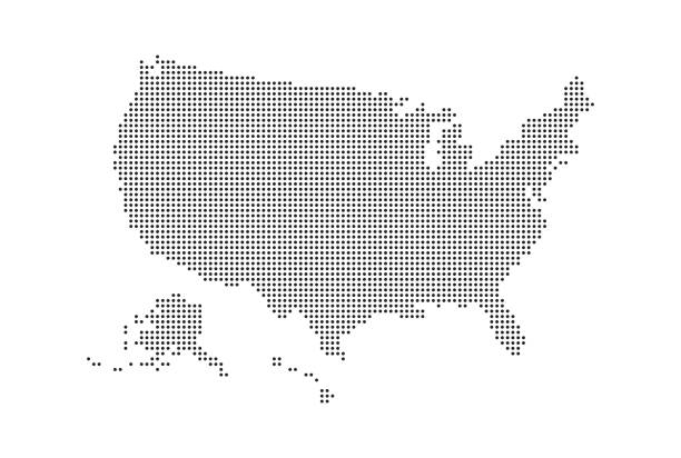
Dotted style map of USA and white background .

City map with some location tags.
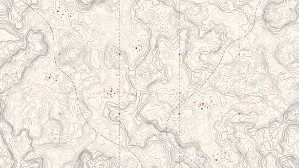
Vintage Detailed Contour Topographic Map Of Wild West Abstract Vector Background
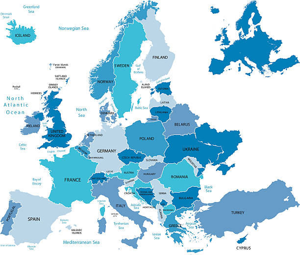
Highly detailed map of Europe for your design and product.
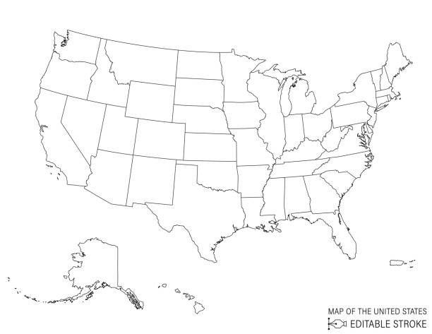
United States Of America map in line art style. The black lines are editable and the map has a transparent base in the vector file. The state lines are on their own layer and can be turned on to use the outline of the country. The individual states cannot be separated.

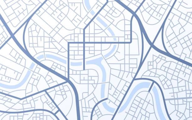
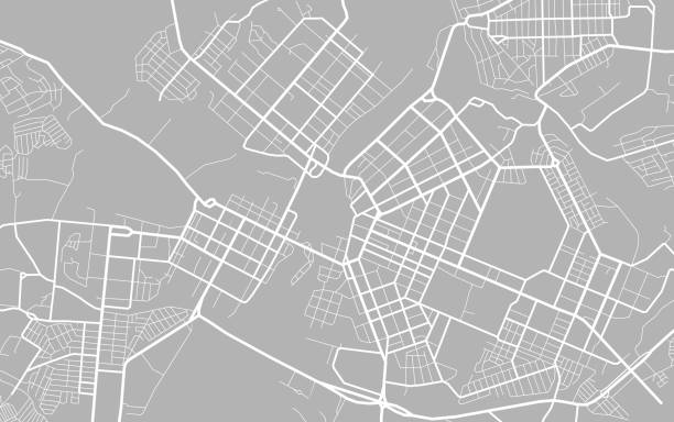
City urban roads and streets abstract map downtown district map.

Australia map on white background with shadow. Stock vector

3D Map of United state of america .
Map Pinpoint Icons Multi Series Vector EPS File.
Next